- 343 Stealth Court, Livermore, CA. 94551
- 925-960-9550
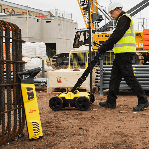
Leica ULTRA
Precision locating for utility tracing
Quote upon RequestThe complexity of underground utility networks are continually increasing. So obtaining precise information on the location of buried utilities has never been more important. The protection of buried assets during excavation work demands accurate mapping and surveying of existing utilities.
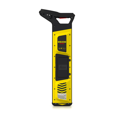
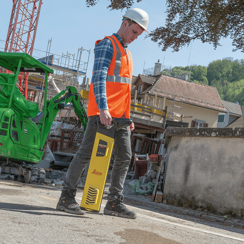
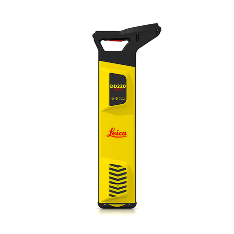
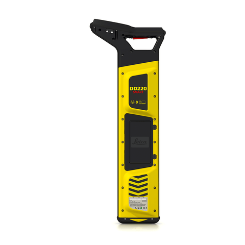
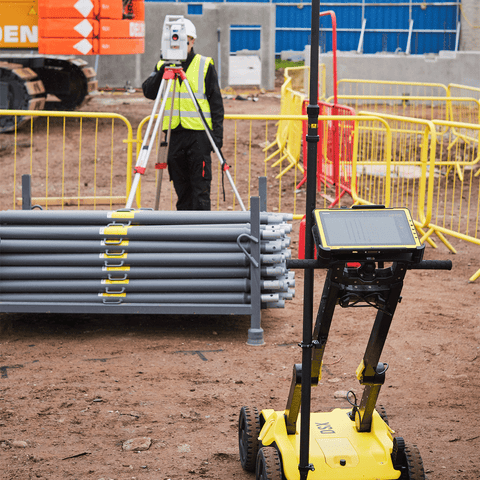
The Leica ULTRA provides our most advanced precision utility tracing system. Intelligent signal processing has been integrated with unique flexible operating modes, to help save you time and increased confidence in your results. Selectable antenna and customised frequencies optimises your instrument for site specific applications, supported by our AIM system which monitors signal interference levels, recommending which mode to use for the best results.
Leica ULTRA Standard Locator
The Leica ULTRA is a precision utility tracing instrument configurable for extensive range of applications and allows for 100 customized frequencies and shows direction to the utility through left/right guidance arrows and an on-screen compass.
Article no. 818699
Ambient Interference Measurement (AIM)
When working in congested environments, external interferences can affect the effectiveness of utility tracing. To guard against interference, the Leica ULTRA incorporates advanced Ambient Interference Measurement (AIM), which analyses the surrounding area for noise and recommends the best frequencies for accurate utility tracing.
Offset measuring
There will always be an occasion when the utility runs close to, or underneath an obstruction. With Offset Measuring, the Leica ULTRA can locate the target line if not directly accessible from above. The function uses the available data to estimate the horizontal and vertical (depth) distance.
Transmitter to receiver link
Advanced communication link between the Leica ULTRA receiver and transmitter, enables you to control the transmitter directly from the receiver. Work smarter and at greater distances to help achieve best practice whilst reducing time spent walking to the transmitter.
Configure the Leica ULTRA for site specific applications.
Custom build your receiver and transmitter. Choose from over 100 preselected frequencies, or customise your own frequency for highly specialised applications. Automatically capture the instruments location data to ensure adherence to best practice. The data logging feature allows the user to record external GPS coordinates and download with the datafile as a KML or CSV format. Upload into GIS systems or Google. Maps to confirm where, when and how the work was performed.
| INTERNATIONAL | XS | S | M | L | XL | XXL | XXXL |
|---|---|---|---|---|---|---|---|
| EUROPE | 32 | 34 | 36 | 38 | 40 | 42 | 44 |
| US | 0 | 2 | 4 | 6 | 8 | 10 | 12 |
| CHEST FIT (INCHES) | 28" | 30" | 32" | 34" | 36" | 38" | 40" |
| CHEST FIT (CM) | 716 | 76 | 81 | 86 | 91.5 | 96.5 | 101.1 |
| WAIST FIR (INCHES) | 21" | 23" | 25" | 27" | 29" | 31" | 33" |
| WAIST FIR (CM) | 53.5 | 58.5 | 63.5 | 68.5 | 74 | 79 | 84 |
| HIPS FIR (INCHES) | 33" | 34" | 36" | 38" | 40" | 42" | 44" |
| HIPS FIR (CM) | 81.5 | 86.5 | 91.5 | 96.5 | 101 | 106.5 | 111.5 |
| SKORT LENGTHS (SM) | 36.5 | 38 | 39.5 | 41 | 42.5 | 44 | 45.5 |
Shipping
- Complimentary ground shipping within 1 to 7 business days
- In-store collection available within 1 to 7 business days
- Next-day and Express delivery options also available
- Purchases are delivered in an orange box tied with a Bolduc ribbon, with the exception of certain items
- See the delivery FAQs for details on shipping methods, costs and delivery times
Returns And Exchanges
- Easy and complimentary, within 14 days
- See conditions and procedure in our return FAQs


