- 343 Stealth Court, Livermore, CA. 94551
- 925-960-9550
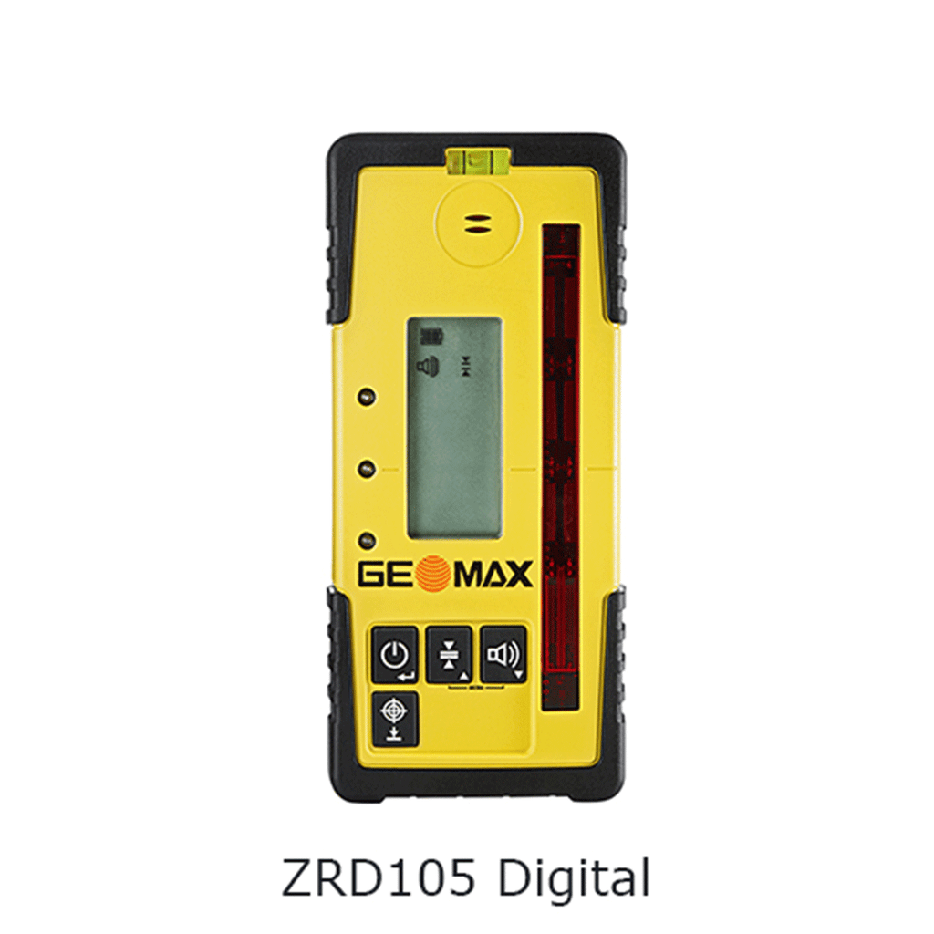
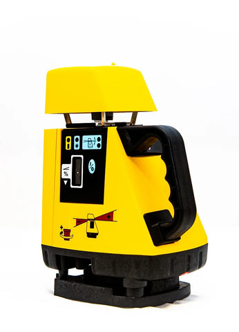
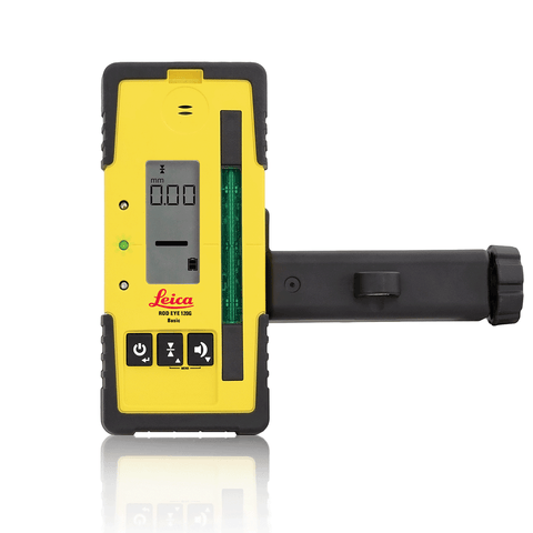
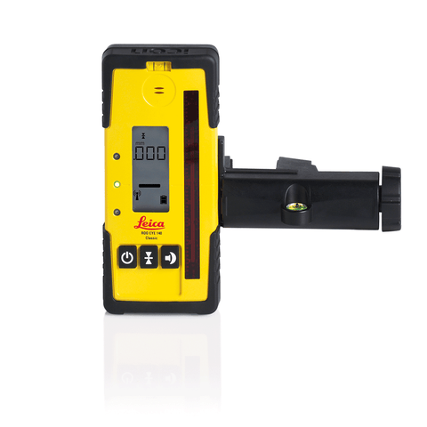
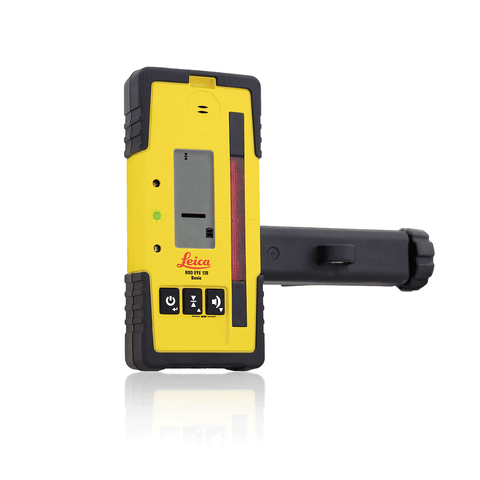
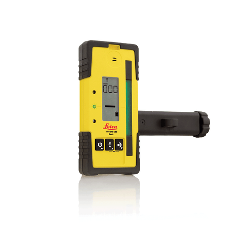
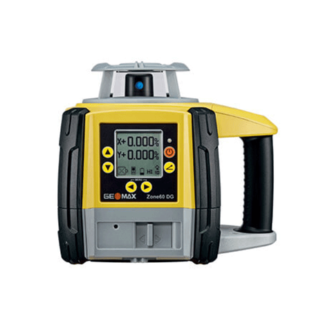
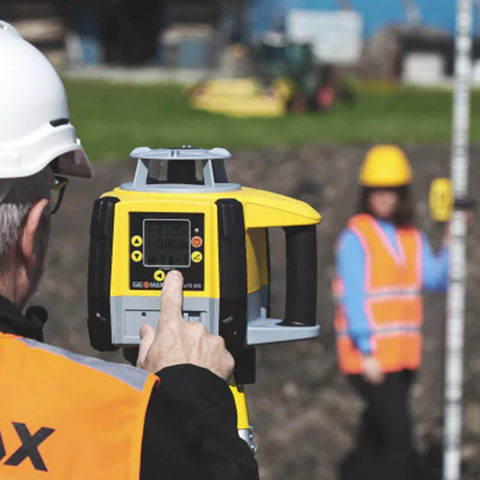
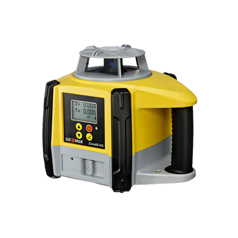
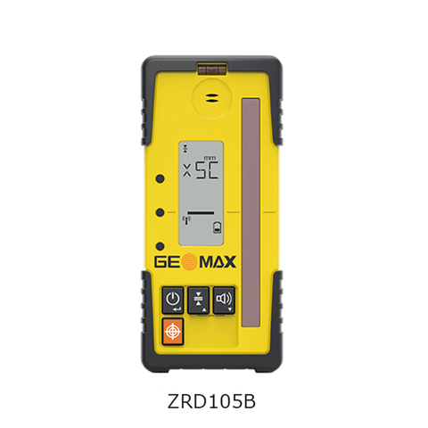
GeoMax ZRD105 Digital Receiver
Quote upon RequestWhat the Geomax ZRD105 Does:
The primary function of the Geomax ZRD105 receiver is to provide precise and accurate positioning data to support various surveying and construction tasks. By leveraging GNSS technology and multiple satellite systems, the receiver can determine its location with exceptional precision, allowing surveyors to capture real-time geospatial data on points, lines, and areas.
Key Features of the Geomax ZRD105 Receiver:
GNSS Capability: The receiver is equipped with multiple satellite systems, including GPS (Global Positioning System), GLONASS, Galileo, and BeiDou. This multi-constellation support ensures maximum satellite availability, resulting in superior accuracy and reliability even in challenging environments.
High Accuracy: The Geomax ZRD105 offers centimeter-level precision, making it suitable for demanding surveying tasks where accurate measurements are crucial. It enables surveyors and construction professionals to obtain precise positioning data for precise land measurement, topographic mapping, and stakeout tasks.
Rugged Design: The receiver is built to withstand harsh outdoor conditions and demanding worksites. It features a durable and rugged construction, providing protection against dust, water, and potential impacts, ensuring reliable performance in tough environments.
Data Communication: The Geomax ZRD105 is equipped with various communication options, including Bluetooth and USB ports, allowing seamless data transfer to and from the receiver. This enables surveyors to easily connect the receiver to external devices like tablets, smartphones, or data collectors for real-time data processing and storage.
Long Battery Life: To support extended surveying sessions in the field, the Geomax ZRD105 incorporates a long-lasting, rechargeable battery, minimizing downtime and maximizing productivity.
User-Friendly Interface: The receiver comes with an intuitive and user-friendly interface, making it easy for surveyors and construction professionals to configure settings, view data, and perform operations efficiently.
Surveyors and construction professionals can use the Geomax ZRD105 for a wide range of applications, including:
Topographic Surveys: Conducting detailed land surveys for mapping natural and man-made features on the terrain.
Construction Stakeout: Marking the precise locations of structures, roads, utilities, and other features on a construction site to guide construction crews.
Land Deformation Monitoring: Tracking changes in the land's shape and elevation over time to assess potential risks or impacts on structures.
Utility Infrastructure Mapping: Mapping and locating underground utilities, such as pipelines and cables, to prevent damage during construction and maintenance activities.
Agricultural Mapping: Assisting in precision agriculture by accurately mapping fields and monitoring crop health.
Geographic Information System (GIS) Data Collection: Gathering data for GIS databases used in urban planning, environmental management, and other applications.
| INTERNATIONAL | XS | S | M | L | XL | XXL | XXXL |
|---|---|---|---|---|---|---|---|
| EUROPE | 32 | 34 | 36 | 38 | 40 | 42 | 44 |
| US | 0 | 2 | 4 | 6 | 8 | 10 | 12 |
| CHEST FIT (INCHES) | 28" | 30" | 32" | 34" | 36" | 38" | 40" |
| CHEST FIT (CM) | 716 | 76 | 81 | 86 | 91.5 | 96.5 | 101.1 |
| WAIST FIR (INCHES) | 21" | 23" | 25" | 27" | 29" | 31" | 33" |
| WAIST FIR (CM) | 53.5 | 58.5 | 63.5 | 68.5 | 74 | 79 | 84 |
| HIPS FIR (INCHES) | 33" | 34" | 36" | 38" | 40" | 42" | 44" |
| HIPS FIR (CM) | 81.5 | 86.5 | 91.5 | 96.5 | 101 | 106.5 | 111.5 |
| SKORT LENGTHS (SM) | 36.5 | 38 | 39.5 | 41 | 42.5 | 44 | 45.5 |
Shipping
- Complimentary ground shipping within 1 to 7 business days
- In-store collection available within 1 to 7 business days
- Next-day and Express delivery options also available
- Purchases are delivered in an orange box tied with a Bolduc ribbon, with the exception of certain items
- See the delivery FAQs for details on shipping methods, costs and delivery times
Returns And Exchanges
- Easy and complimentary, within 14 days
- See conditions and procedure in our return FAQs

